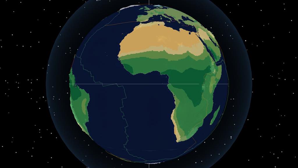
Cryogenian rocks record glaciation reaching low latitudes. The Sturtian and Marinoan were separate glaciations. The conceptual diagram explains freezing and thawing; the background globe models continental positions around 635 Ma, not ice extent.
Loading Earth...
playdeeptime.earth
Map display
View
Preparing the scene. Sharing will be available when it is ready.
Account
Sign in to contribute.
CO₂
280ppm
Temp
14.3°C
Sea
0m
O₂
21%
Annual surface temperature from CESM (T): a model estimate, not a direct observation of the past.
0 Ma: pre-industrial climate/CO₂; modern sea-level and O₂ references.