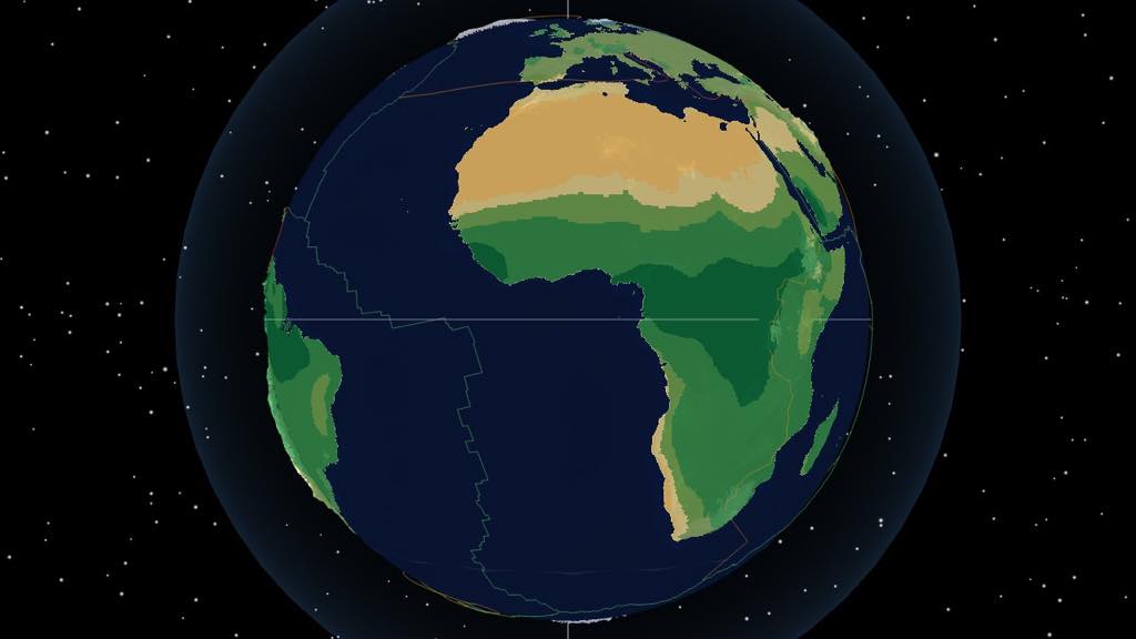
Play Deep Time Earth — 1.8 billion years of Earth in 3D and 2D
Explore Earth from 1.8 billion years ago to today on one continuous timeline, in 3D or 2D.
Play Deep Time Earth combines CESM climate simulations — annual temperature, precipitation and winds — with schematic currents derived from wind and sea temperature, plate boundaries and fossil occurrences sampled from the Paleobiology Database.
0–540 Ma offers terrain and climate data. Older ages show reconstructed continental fragments and plate boundaries, without elevation or climate; this is a research model, not a known coastline. Terrain at 0–540 Ma is blended between height maps 5 million years apart; intermediate coastlines are approximate. The 0 Ma climate is a pre-industrial model reference.
What you can explore
- Cao2024 v2.4: continental fragments and plate boundaries for ages older than 540 Ma through 1800 Ma, in a paleomagnetic reference frame.
- Plate tectonics and continental drift reconstructed from PyGPlates rotation models (PALEOMAP, SETON2012, Müller 2022).
- Paleoclimate layers — temperature, precipitation, and winds from CESM GCM simulations.
- Fossil distributions sampled from the Paleobiology Database (PBDB).
- Ocean currents, wind fields, plate boundaries, and global indicators (CO₂, O₂, sea level).